

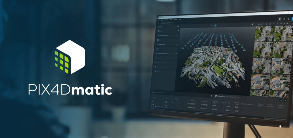
Drones used to come back from a site with a folder of photos. Now they come back with millions of data points that need to be stitched into a survey-grade map before anyone can even start making decisions from it. That shift, from photos to point clouds, has quietly turned geospatial work into one of the more computationally demanding fields out there, and a lot of the hardware people are still using wasn’t built for it.
Surveying, mapping, and remote sensing have always leaned on technology, but the scale of the data involved has changed the game entirely. Processing that data properly now takes real computing muscle, not just patience.
Why Geospatial Workloads Have Gotten So Demanding
A single drone flight over a mid-sized construction site can generate tens of thousands of images. Turning that into a usable orthomosaic or 3D model means aligning every image, calculating millions of tie points, and building dense point clouds that can run into the billions. None of that happens quickly on underpowered hardware.
Add LiDAR data, multispectral imagery, or large-scale infrastructure projects into the mix, and the computational load climbs even further. Teams that try to push this kind of work through consumer-grade machines end up watching progress bars for hours, sometimes overnight, just to process a single site.
This is exactly the gap driving demand for workstations built specifically around photogrammetry software. A Pix4Dmatic Models & Small Maps workstation is a good example of that shift — it’s configured around the memory and processing needs of smaller-scale mapping projects, where fast turnaround still matters even if the dataset isn’t massive.
The Cost of Underpowered Systems in Geospatial Work
Slow processing in geospatial work doesn’t just delay a deliverable. It changes what a team is willing to attempt in the first place.
A few common effects of undersized hardware:
- Survey teams process data overnight instead of same-day, delaying decisions on active job sites
- Larger or more detailed datasets get downsampled just to make processing manageable
- Field crews wait longer for validation, which can hold up construction or engineering schedules
- Firms turn down larger mapping projects because their systems can’t process them in a reasonable timeframe
None of that reflects a lack of skill on the team’s part. It’s almost always a hardware ceiling getting in the way of what the work actually requires.
How High-Performance Computing Changes What’s Possible
Once processing power stops being the bottleneck, geospatial teams tend to take on more ambitious work, not just faster versions of the same projects.
Higher Resolution Without the Wait
More powerful systems let teams process imagery at full resolution instead of trimming quality just to hit a reasonable processing time. That matters directly for accuracy, especially on projects like infrastructure inspection or land surveying where small details can carry real consequences.
Same-Day Turnaround on Larger Sites
Construction and engineering teams increasingly expect mapping data back the same day a flight happens. That kind of turnaround is only realistic when the processing hardware can keep pace with the volume of data coming in, rather than falling further behind with every added acre of coverage.
Room to Take On Bigger Projects
Firms limited by processing power often cap the size of projects they’ll bid on, simply because larger datasets would take too long to process reliably. Stronger hardware removes that ceiling, opening the door to regional mapping projects, larger infrastructure surveys, and datasets that would have been unmanageable before.

Matching Hardware to Project Scale
Not every geospatial project needs the same class of hardware. A small commercial site and a multi-square-kilometer regional survey put very different demands on a system, and the software handling large-scale projects needs considerably more memory and processing headroom to keep up.
For firms regularly working on large area mapping, dam or corridor surveys, or extensive infrastructure projects, a Pix4D Pix4Dmatic Large Map workstation is built to handle exactly that kind of scale, with the memory capacity and processing power needed to keep large datasets moving instead of grinding to a crawl partway through.
Picking hardware sized to the actual project, rather than a one-size-fits-all workstation, tends to be the difference between a team that can scale up its work and one that stays capped by its own equipment.
Where This Is All Heading
Geospatial data isn’t getting simpler. LiDAR resolution keeps improving, drone sensors keep capturing more detail per flight, and AI-assisted classification tools are becoming standard parts of the workflow rather than add-ons. Every one of those advances adds more computational weight to an already heavy process.
Firms that invest in the right processing infrastructure now are positioning themselves to take on the next generation of geospatial work, instead of watching it pass them by because their systems couldn’t keep up.
Final Thoughts
High-performance computing has moved from a nice-to-have to a real requirement in geospatial industries. It shapes how quickly teams can turn field data into usable maps, how large a project a firm can realistically take on, and how much detail survives the processing pipeline without getting quietly trimmed away.
Firms that treat their processing hardware as core infrastructure, not an afterthought, tend to work faster and take on projects that would otherwise be out of reach. That’s the thinking behind Cloud Ninjas, which builds workstations tailored to the specific demands of geospatial and photogrammetry work instead of repurposing general-purpose machines for a job they were never designed to handle.
